By Caribbean News Global contributor
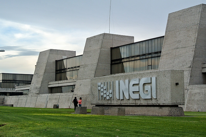
CASTRIES, St Lucia – Between May 23 – 27, 2022, the National Institute of Statistics and Geography (INEGI) of Mexico conducted a technical/diagnostic visit to Saint Lucia as part of the activities of the project entitled “Strengthening the capacities of Saint Lucia for the design and updating of its coastal geographic information with emphasis on the different cartographic elements that contribute to environmental planning and improving the resilience of beaches”, organized by the Mexican Agency for International Development Cooperation (AMEXID) and the Embassy of Mexico to the Eastern Caribbean States, based in Saint Lucia.
Monday, May 23, 2022, the department of external affairs and a presentation by the INEGI expert Engineer Mario Jahuey to institutions in Saint Lucia, including the office of the prime minister, the department of physical development, the Saint Lucia National Trust, the department of sustainable development, The Piton Management Area, the National Conservation Authority, the ministry of tourism and the department of infrastructure, on the purpose of the visit and the information inputs being sought to develop a programme of training to deliver the objectives of the project.
The governments of Saint Lucia and Mexico on October 26, 2021, approved the first Technical and Scientific Cooperation Program consisting of four projects regarding Heritage Management and Conservation, Water Resources and Geographic Information for Resilient Beaches.
Subsequently site visits were conducted to various beaches and vulnerable coastlines including Pigeon Island National Landmark, Vigie Beach, Praslin Beach and Bay Canelles and Black Bay, Sandy Beach and Soufriere Beach.
Wednesday, May 25, interviews were held with national agencies with responsibility for managing beaches and coastal areas, and the resources in these areas. Thursday, May 26 a stakeholder consultation was held to assess the need for geographic information to support the management functions of the various institutions. The mission concluded with a close-out meeting at which the key findings from the visit were presented and follow up inputs needed to develop the capacity development interventions needed to achieve the project purpose were identified.
Some of the areas of training identified included the effects of climate change and developments on the coastlines; the need for a common definition of the coastline; monitoring sea level; dealing with the influx of sargassum seaweed; the effects of marine litter on the coastline and marine life; improving the health of mangroves; undersea activities and processes and their effects on the marine life; identification of endangered species in the coastal areas; mapping and providing official names for coastal features; the depth of the Soufriere harbor; carrying capacity of popular beaches; and mapping of bathing areas for the safety of users.
The government of Mexico through INEGI will design and provide a series of training workshops to strengthen the capability of coastal resources management agencies to produce and use geographic information tools to support their resource management capabilities and functions.
The visit was facilitated by the office of the prime minister and the department of physical development. His Excellency Luis Manuel Lopez Moreno, ambassador of Mexico to Saint Lucia and welcomed the opportunity for his country to provide technical support to the government of Saint Lucia. He pledged his country’s continued solidarity with Saint Lucia in the areas of technical and scientific cooperation.
Source: Office of the Prime Minister (OPM) Saint Lucia


